RapidPlan
3D mission-planning and rehearsal tool for special operations and UAV missions, built on the TerraLens engine.
Softwareby Kongsberg GeospatialIntroduced 2010
Photos: docs.metromap.com.au · www.kongsberggeospatial.com
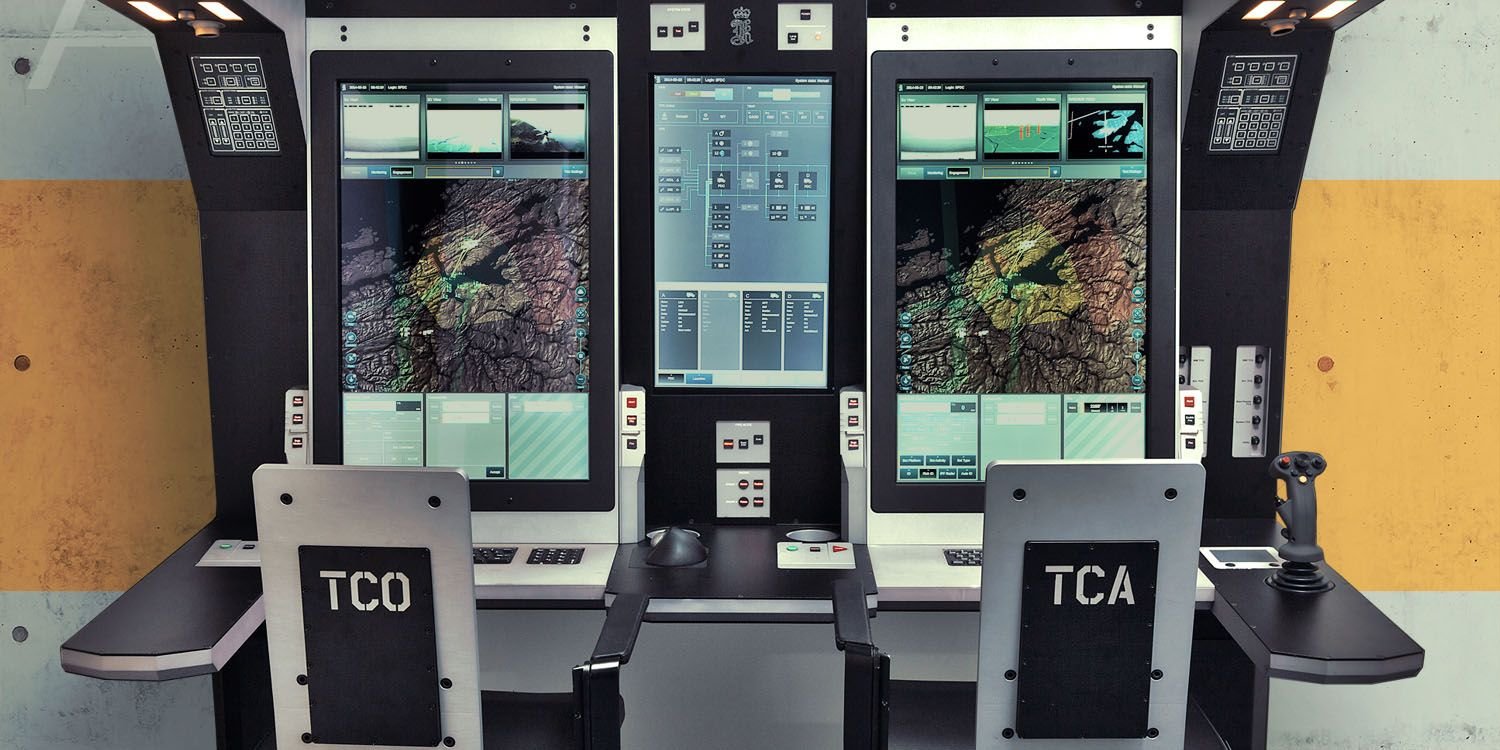
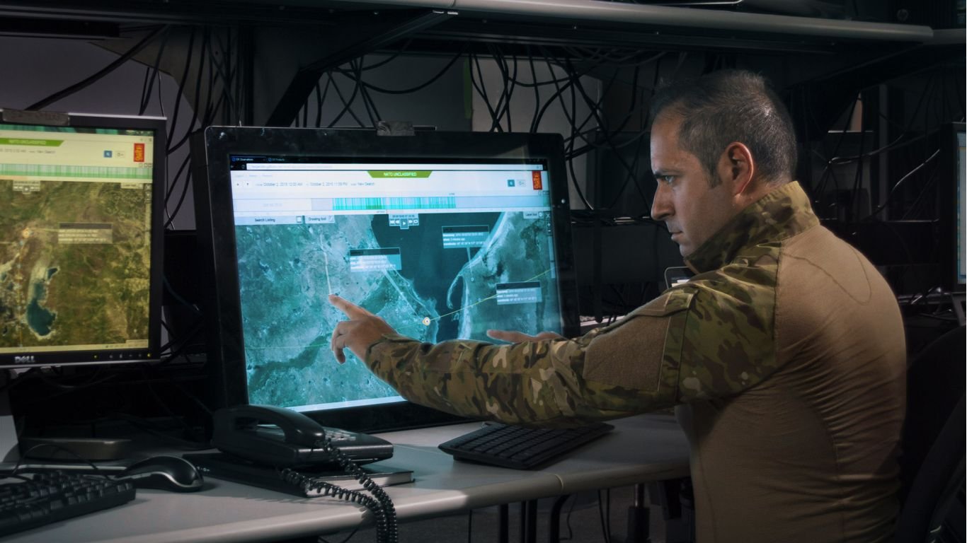
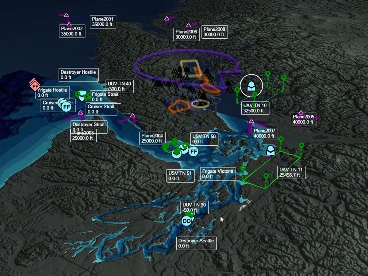
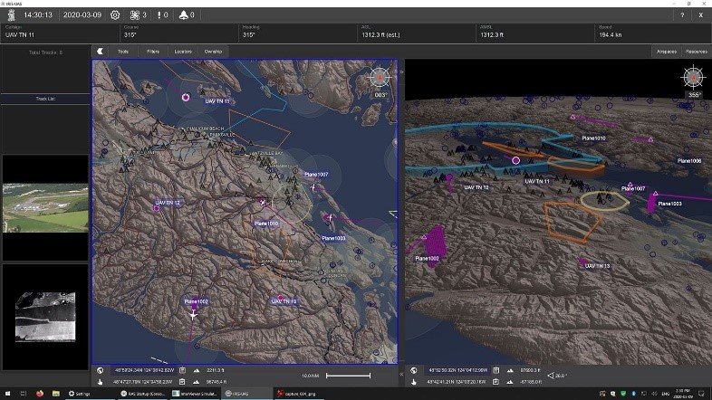
RapidPlan is a mission-planning and rehearsal software tool developed by Kongsberg Geospatial, a Norwegian company headquartered in Ottawa, Canada. Introduced in 2010, the system is designed to support special operations forces and unmanned aerial vehicle (UAV) missions through 3D terrain visualization and line-of-sight analysis. It is built on the TerraLens engine, which provides real-time geospatial visualization capabilities that are also utilized in NATO air-defense and UAV ground-control systems. The software allows operators to conduct detailed mission rehearsals in a simulated 3D environment, enabling the planning of complex flight paths and operational scenarios before deployment.
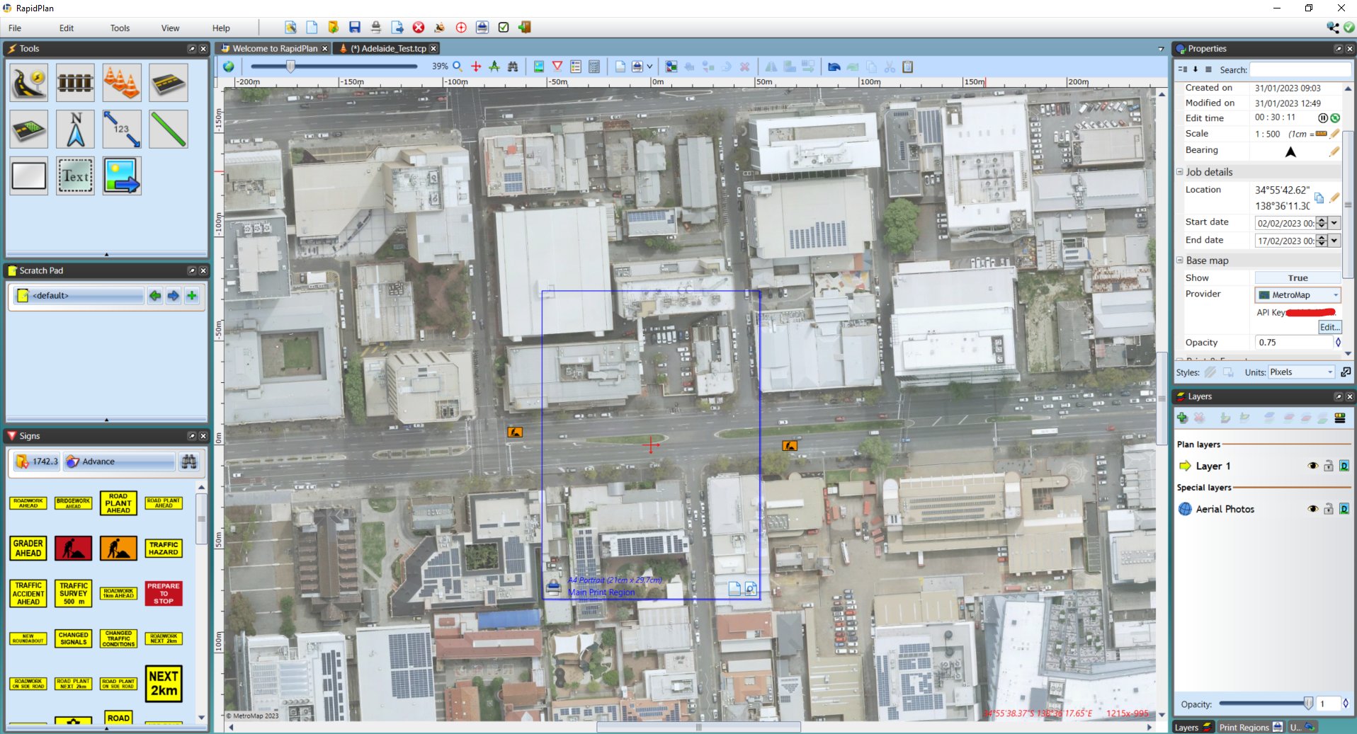
The core functionality of RapidPlan relies on its integration with high-resolution geospatial data. Users can import aerial imagery and mapping data from external sources, including GIS systems and online mapping services, to create accurate digital twins of the operational theater. The software facilitates line-of-sight analysis, allowing planners to determine visibility constraints and potential cover for assets. While specific onboard compute hardware or open-source flight stacks are not publicly detailed in available documentation, the system serves as a critical pre-mission planning layer, bridging the gap between raw geospatial data and tactical execution. It is distinct from traffic management planning tools that share the same name in the civilian sector; the military variant focuses on tactical rehearsal rather than roadwork signage.
Kongsberg Geospatial lists the United States and Canada among the primary operators of RapidPlan. The system has been integrated into broader defense architectures, leveraging the company’s reputation for providing visualization tools to military and government clients. By offering a platform for 3D mission rehearsal, RapidPlan addresses the need for precise planning in environments where terrain and visibility play decisive roles in mission success. Its deployment supports the operational requirements of special operations units and UAV operators who require high-fidelity simulation of their operational areas.
The software remains a specialized tool within the geospatial intelligence market, serving as a niche solution for pre-mission planning. It competes with other specialized simulation and planning suites used by Western militaries, particularly those requiring tight integration with real-time geospatial data. The system’s value lies in its ability to translate complex terrain data into actionable planning insights, supporting the decision-making process for commanders and operators. As Kongsberg Geospatial continues to refine its TerraLens technology, RapidPlan remains a component of their broader portfolio of defense visualization solutions, catering to the specific needs of NATO-aligned forces and their partners.